
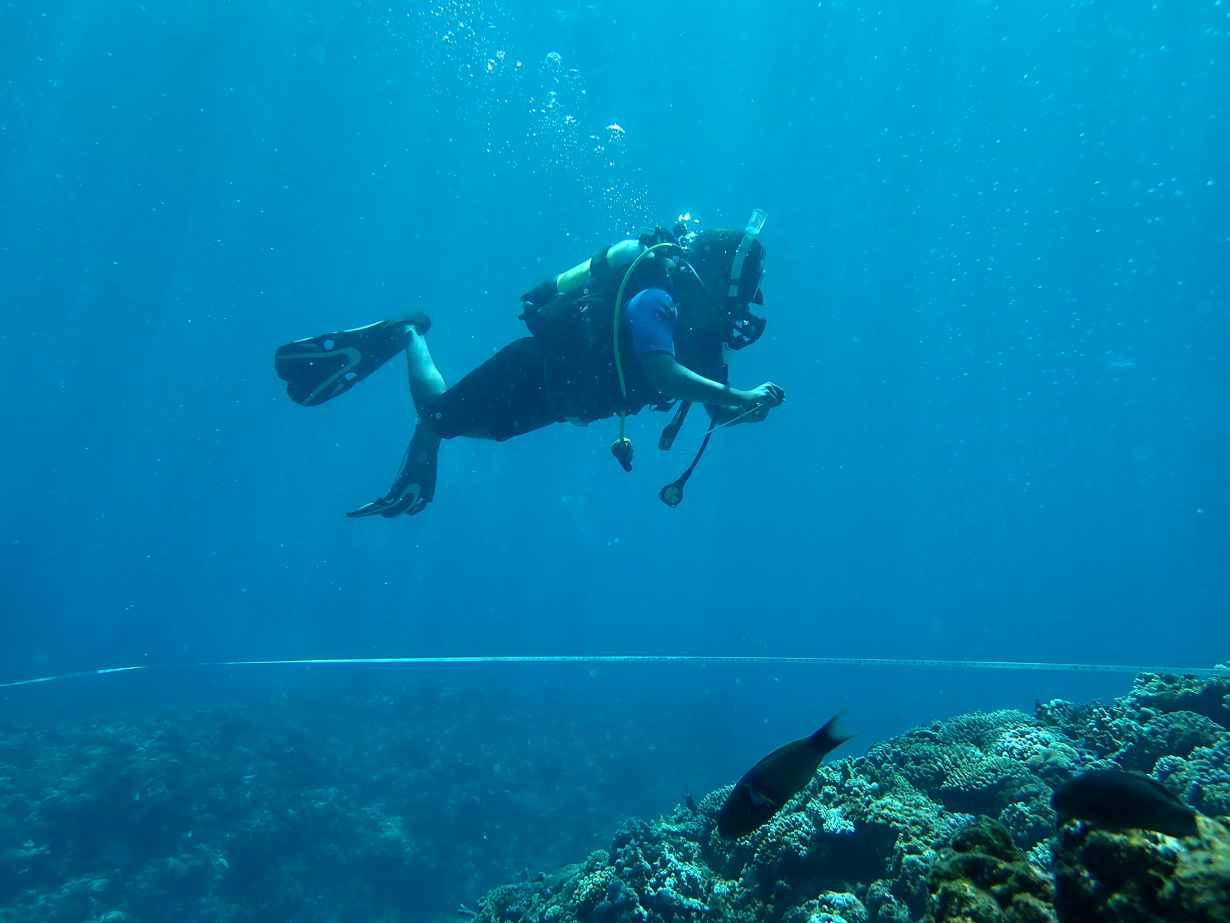
Madagascar: Accounting for Coral Reefs and the Blue Economy
Ocean Accounts Fellows in Madagascar are developing ocean accounts for coastal and coral reef change, and the ecosystem services they provide to local communities.
Read More
This initiative demonstrates the practical application of ocean accounting and how technical innovation can be effectively coupled with traditional knowledge systems to address climate adaptation challenges.
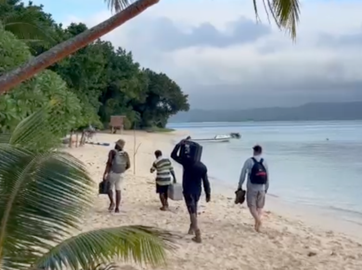
In August 2025, a collaborative team from the University of New South Wales (UNSW) and University of Queensland (UQ) completed a comprehensive field and knowledge sharing trip to Pele Island, Vanuatu. This marked a significant milestone in developing the world’s first high-resolution community-scale ocean account, using ocean accounting principles to support climate adaptation and sustainable livelihoods.
Ocean accounting offers a framework to track changes in the extent and condition of marine and coastal ecosystems over time, recognise the services these ecosystems provide and bring greater visibility to the contributions of coastal communities and stewards to their protection.
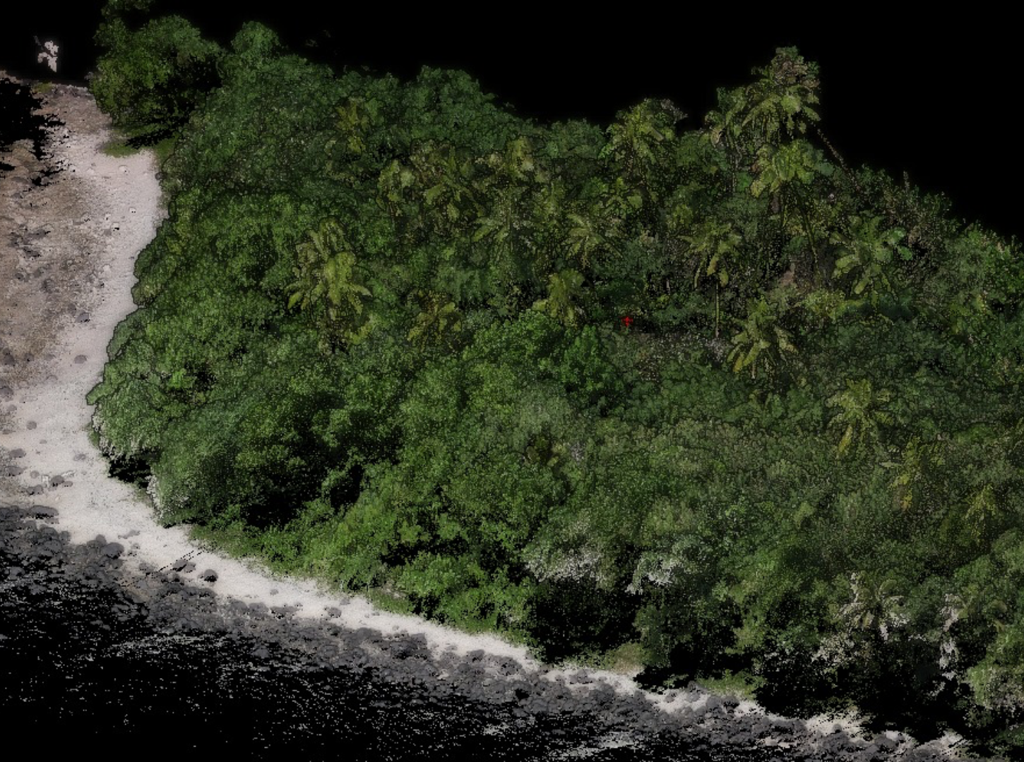
The Pele Island project represents a pioneering effort to integrate Earth Observation technologies, artificial intelligence, and traditional knowledge systems to address critical climate challenges facing Pacific Island communities. The initiative directly aligns with Vanuatu’s revised National Ocean Policy (VNOP2), which positions Ocean Accounting as a key implementation tool for highlighting marine stewardship contributions and ecosystem dependencies of local communities.
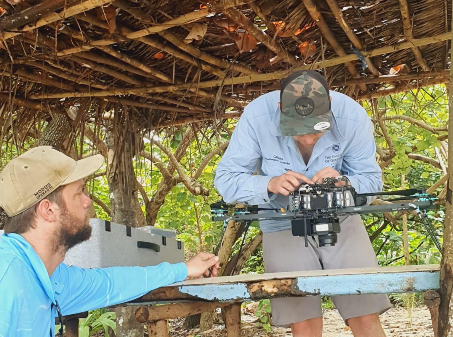
The project partnership brings together Australian academic expertise with the Pele Island Environment Network Committee and Live & Learn Vanuatu, ensuring community ownership and cultural appropriateness throughout all activities. The technical team leverages UQ and UNSW computing and digital infrastructure resources and the new UQ led Drone Collaborative Research Platform.
Pele Island, located north of Vanuatu’s main island of Efate, encompasses four village communities: Worasifiu, Piliura, Laonamoa, and Worearu. Despite being rich in natural resources and people skills, these communities face significant economic constraints while managing critical marine biodiversity areas and confronting escalating climate impacts.
The island’s communities have demonstrated remarkable conservation leadership through established coral restoration projects and eco-tourism initiatives.
However, they face urgent challenges including:
The traditional management structure presents both opportunities and challenges, with communities responsible for marine areas to the reef crest while government jurisdiction extends beyond, necessitating a more integrated approach to ecosystem management.
The August trip successfully completed comprehensive baseline data collection through multiple methodologies:
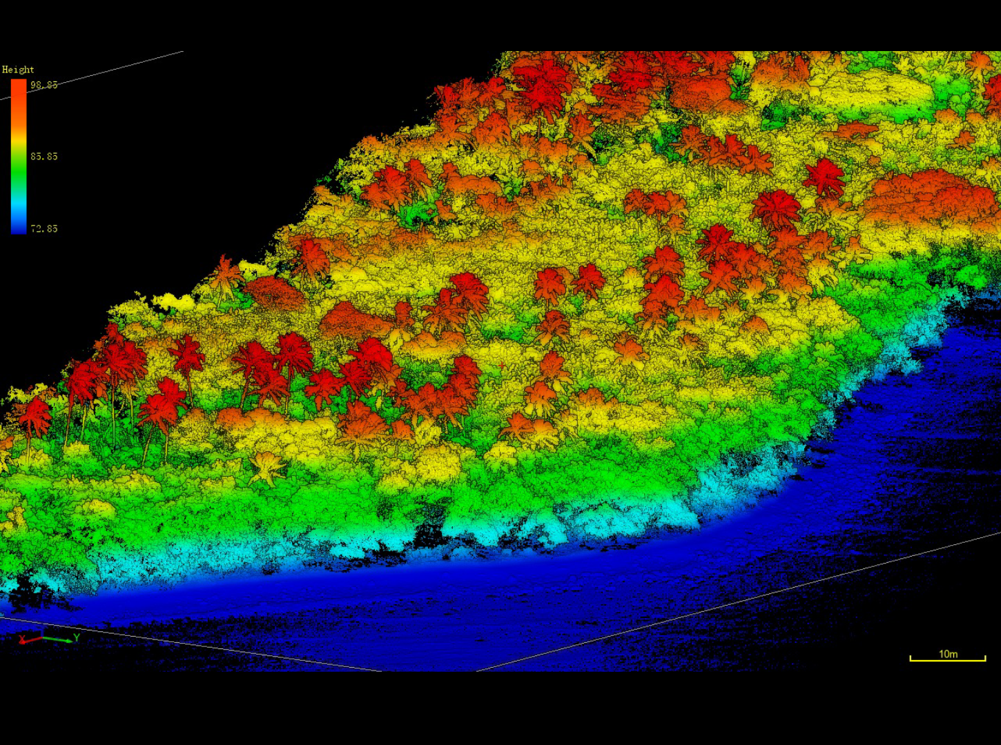
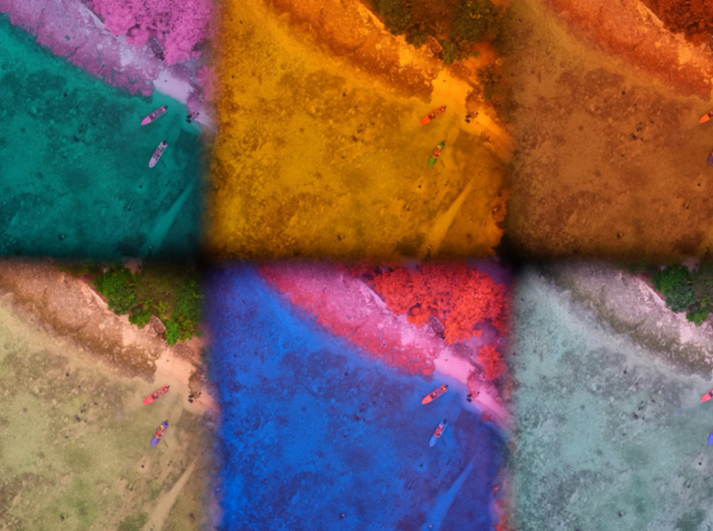
A core achievement of the mission was the extensive training provided to community members, ensuring long-term project sustainability:
The team established strong working relationships with all four village communities, with particularly deep engagement in Worasiviu and Laonamoa. All activities were conducted in partnership with Live & Learn Vanuatu, ensuring cultural protocols were respected and gender equity and disability inclusion were prioritized throughout the process.
The data collected positions this project to deliver potentially the first high-resolution community-scale ocean account globally. This account will:
The framework integrates with the Global Ocean Accounts Partnership’s open-source spatial data infrastructure, ensuring scalability and replicability across Pacific Island nations.
Following the successful August field mission, two strategic submissions were developed relating to sustainable financing and policy support:
A comprehensive proposal was submitted to the UK’s Blue Planet Fund through DEFRA, outlining a pilot results-based payment framework. This initiative aims to establish a transparent mechanism linking community-led marine restoration activities to sustainable livelihood benefits, with the ocean account providing the measurement, reporting, and verification infrastructure.
A briefing proposal was submitted to the Australian Minister for Foreign Affairs’ office, highlighting the project’s alignment with the recently signed Nakamal Agreement between Australia and Vanuatu. The brief emphasizes how this community-university partnership model demonstrates effective climate adaptation support while strengthening Australia-Pacific relationships.
The August 2025 trip has established the foundational data and relationships necessary for developing a transformative ocean accounting application. The high-resolution baseline data, combined with ongoing community capacity building, positions Pele Island as a potential global exemplar for how ocean accounts can directly support community resilience and sustainable development outcomes.
The project’s emphasis on open-source methodologies, community ownership, and scalable frameworks offers a replicable model for ocean accounting implementation across Small Island Developing States. It demonstrates how technical innovation can be effectively coupled with traditional knowledge systems to address climate adaptation challenges.
This report represents a collaborative effort between the University of Queensland, University of New South Wales, Live & Learn Vanuatu, and the Pele Island Environment Network Committee, with special recognition of the four village communities whose participation and knowledge made this work possible. Please contact Mitchell Lyons for further information in the interim ([email protected]).
Ocean Accounts Fellows in Madagascar are developing ocean accounts for coastal and coral reef change, and the ecosystem services they provide to local communities.
Read More
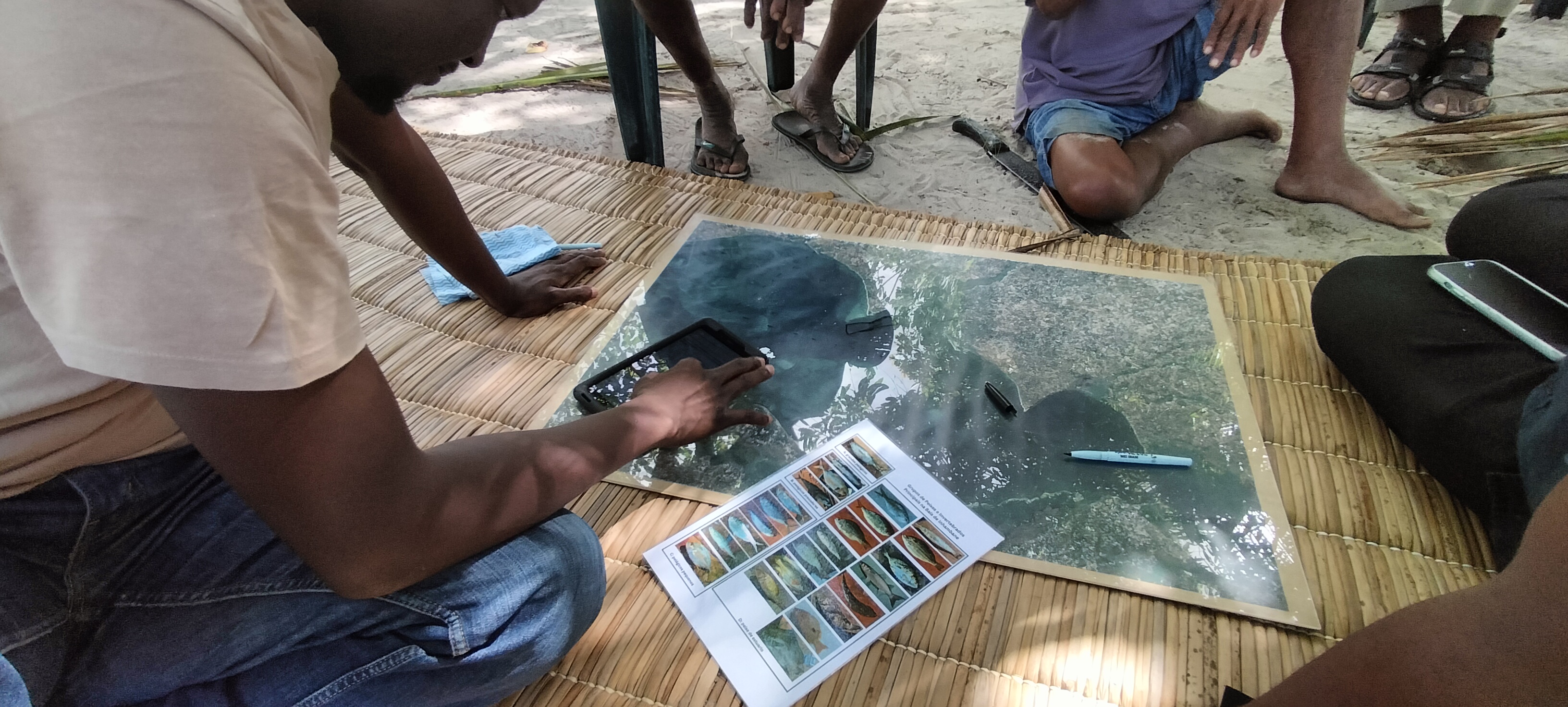
Community-based social data is being collected in Inhambane Bay, Mozambique to feed into a future pilot Social Account, through the work of Ocean Revolution Mozambique and World Resources Institute and support from the UK Government’s Blue Planet Fund.
Read More
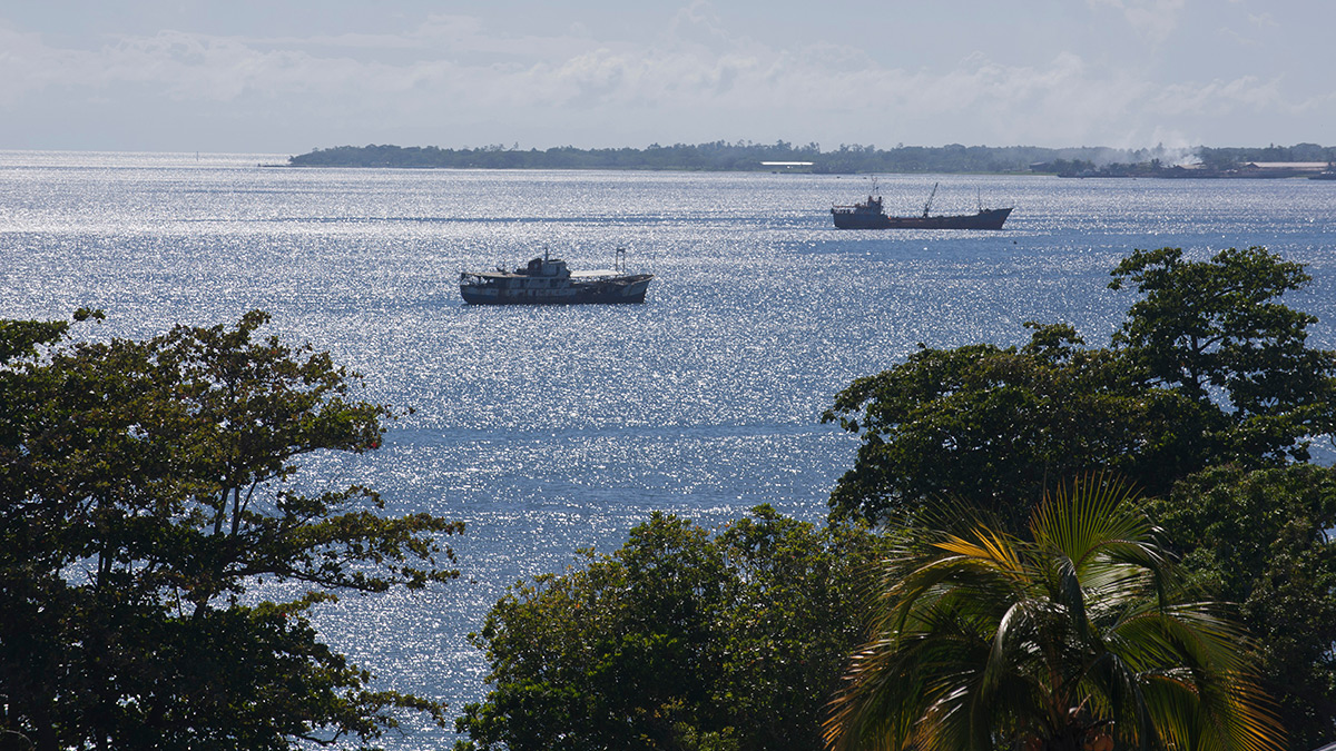
The Pacific's first internationally standardised maritime accounts put a value on a fleet, a workforce and a lifeline that national statistics had never captured.
Read More